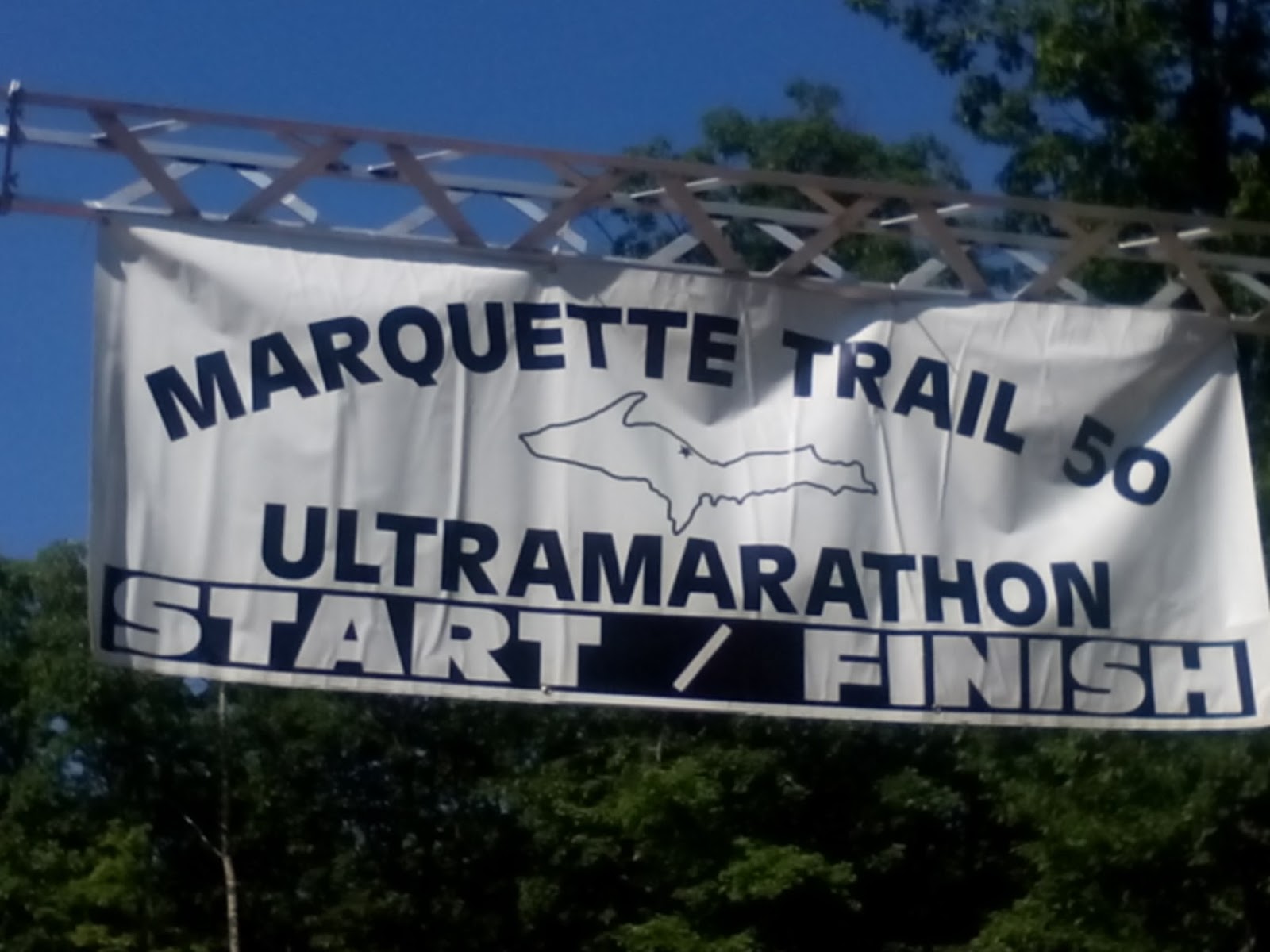
Marquette 50k Trail Race
I went into this race with a goal to enjoy the day on the trail. I had no specific goal for time but did have an idea that it would take me about 9 hours to finish when I looked at last years finishers.
I decided to run this race based on conversations with runners that ran last years race and a video posted to the race website of someone running the race. After seeing the climb up and down Hogback Mountain I knew this was a race I wanted to run.
The 50k course is one southern loop of 10.6 miles and a northern loop of 20 miles. We started the race at 5:30 am so it begins in the dark using headlamps.
 |
| Doug and I at the start line. |
LOOP 1: 10.6 miles
The first mile or so is run on the road (some gravel, some paved) to
help spread out the runners before getting to the single track trail.
This helps with the bottleneck situation once on the single track
trail. It would be nice to run the front part of this section in the daylight as it was very nice trail even in the dark.
 | |
| First Leg of the 10 mile loop still in the dark |
To Aid Station 2 - start/finish (mile 10.6)
That next section of trail was very technical. I found myself in a congo line of runners and ended up falling down twice. After the second time I let the runners pass so that I could give myself more room on the trail. I have found that I fall the most when I am running too close to other runners on the trail. When 'trail gating' there is not enough reaction time available to make those evasive manueveurs to avoid tripping. Luckily these falls resulted in zero injuries.
 | |
| Crossing the power lines to get to more single track trail | (Photo credit: Mike Madden) |
I had a drop bag at the start line and was glad I did as my braid had come undone and I was glad I did not have to run the entire race without fixing that situation. Nothing like dealing with long hair when the day is hot and humid. Oh did I mention that it was really humid during the race? Even at 8 am I was already sweating profusely. It was promising to be a very hot day.
LOOP 2: 20 miles
To Aid Station 3 (14.6 miles):
This next section included some nice rolling trails in the woods. Somehow I ended up missing a turn near Wetmore Pond and I found myself on a trail with no markers. A runner came up behind me and we commented on not seeing a trail marker for awhile. We kept running thinking a marker would show up soon. This was not to be as we hit a trail head and parking lot. We knew the aid station was on the road and we walked up to the road to see if we could see the aid station but the road curved. After wasting time trying to decide what to do and looking for some trail markers we decided we were going to have to backtrack to see where we went wrong. I was not too concerned as I had no goal time for finishing. So back we went and sure enough we saw the markers where we were suppose to turn right and had kept running straight instead. I still cannot figure out how I missed this turn as it was very clearly marked. After we found the trail again I determined that I had run an extra mile and probably added an extra 15 to 20 minutes of time. Oh well. Not much to do about it but keep moving forward. At some point on this section just prior to running into aid station 3 (which was suppose to be mile 14.6 but was 15.6 for me) I was stepping over a log and banged my left knee on a broken off branch on the log. It hurt. Like alot! I only barely scratched my skin but after saying a few choice words and rubbing my knee I made sure it still worked and continued on.
 |
| Great single track trail! |
I arrived into aid station 3 and looked down and my knee was swelling. There was not any pain other than when I touched the area so I hoped nothing would develop as I still had over 17 miles before the day would be done. I took extra time in this aid station as the next section coming up would be 7 miles and was suppose to be mostly runnable after getting off Sugarloaf Mountain. And it was starting to get hot. I wanted to make sure I had enough water and added ice to my bladder to have cold water which always feels good during a hot and sunny race. The predicted high for the day was 84 degrees.
To Aid Station 4: (21.7 miles)
This section included the climb up Sugarloaf Mountain. I actually enjoyed this section and climb as it included stairs to the top. I don't mind stairs and powered my way to the top. At this point I started seeing more hikers on the trail and we were told that this might be the case as these trails were very popular in Marquette.
 |
| Wooden stairs to get to the top of Sugarloaf Mountain |
 |
| Top of Sugarloaf Mountain |
 |
| Top of Sugarloaf Mountain looking over Superior |
 |
| Top of Sugarloaf Mountain overlooking Superior |
 |
| Top of Sugarloaf Mountain |
 |
| Top of Sugarloaf Mountain |
 |
| Really bad selfie at the top of Sugarloaf Mountain |
 |
| Talked to some hikers and we each took pictures of each other atop Sugarloaf Mountain |
Getting down off Sugarloaf Mountain was interesting and I almost lost the trail down as it was hidden between some very large rocks. But I was smarter about it this time and did not go far without first looking for the markers down the trail. Going down there are many large rocks and sometimes the markers would be in rock cairns as there was no dirt to put the markers into. The trail was very well marked and as long as you were very conscious of where they were in front of you it was hard to get lost.

After getting off Sugarloaf Mountain the trail became mostly flat and ran along the shoreline of the Superior. This was a very nice section with lots of pines. It was somewhat rolling and there were rocks and roots to navigate but it was a very runnable section. I was pretty much by myself on the trail and had been for a long time. I was enjoying being out on the trail by myself. It was a confidence booster for me to be out there running alone.
 |
| Running along Lake Superior |
To Aid Station 5 (26.2 miles)
This next section included the climb up Bareback Mountain and ran by Harlow lake. This section was not very memorable for me but included rocks, rocks and more rocks. This trail reminded me of running in Duluth on the Superior Hiking trail and in some sections reminded me specifically of the trail in Jay Cooke State Park with its rocks and roots and also parts of Wild Duluth with the running over the large rocks in the trail.
I am happy to say that I did not hit any lows during this run at all. In hindsight this is very surprising as I almost always seem to hit those low spots. I think I was enjoying being out on the trail so much with no pressure for a finishing time that I was living in the moment and enjoying myself immensely.
To the Finish (31 miles)
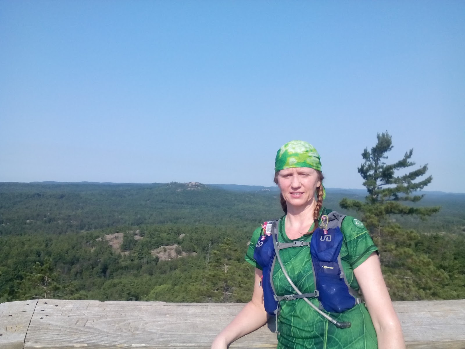
The last section included the climb to the Top of the World and the famous Hogback Mountain.
When I arrived at the top of the Top of the World there were some tents set up. Apparently some hikers had decided that it was a good camping spot. They must have been hiking as no one was around while I was there.
 |
| Top of the World |
 |
| Top of the World |
 |
| Top of the World |
 |
| Top of the World |
 |
| Mild section of the Hogback climb |
|
| Mild section of the Hogback Mountain climb |
By the time I was done ascending and descending Hogback I was ready to be done with hills but this was not to be the case as there were many small climbs on that last two miles. About the time I just wanted to run to the finish I found myself needing to walk. I was happy to be done at 32 miles (remember that bonus mile as a result of getting off trail?).
 |
Results:
9/21 Age group (40+)
18/36 Overall Female
Time 9:23:54 with an average of 18:11(my average pace was 17:37 min/mile for the 32 miles)


